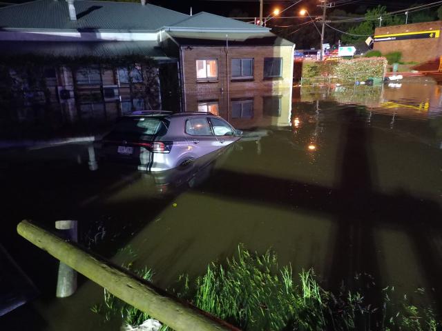
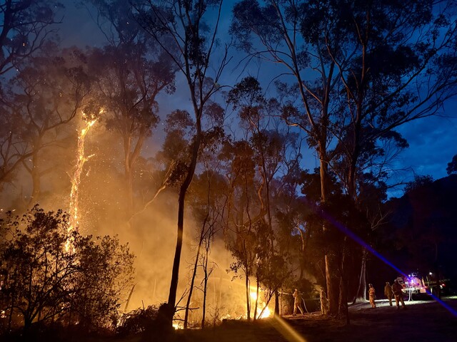
A deferral of Yarra Ranges Council’s stormwater management plan approval was unanimously voted through after questions were raised about missing documents.
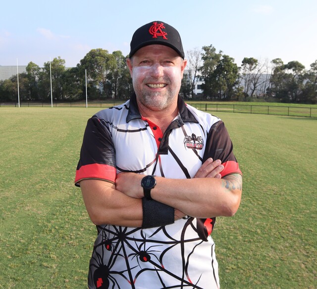
The decision was noted by two opposition speakers Michelle de Lima and Karen Kestigian, who represent floodwatch groups, as a win for the community based on the need for local government transparency.
Speaking at the 27 August council meeting, Ms de Lima outlined multiple items missing from the documentation as well as administrative errors in the reports.
Despite the inaccuracies, Ms de Lima said “the stormwater management plan and policy are progressive and highly important initiatives for the future development of the Yarra Ranges Shire, the state of Victoria and its agencies.”
But she said “as a guiding principle for the next 10 years, it has to be 100 per cent right”.
Ms de Lima cited that 560 residential building approvals are granted on average every year making it imperative that all appropriate agencies act in accordance with the risks of “flooding, bushfire and climate hazard”.
Referencing a previous item discussed at the meeting, the Plan for Victoria big ideas, Ms de Lima said the council had noted within its own report “it does not know its current infrastructure capacity”.
“The Insurance Council of Australia catastrophe resilience report 2023-2024 urges governments to adopt a risk based approach that stops development in high risk areas, require stronger building codes and standards, adequate resilience infrastructure in high risk areas, prioritise low risk areas for development and end floodplain development,” she said.
Among Ms de Lima’s main points as to why this plan was not completed fully included the lack of a gender impact assessment, the wrong appendices referenced and mapping being non-existent.
“While 49 priority catchment areas are identified, many flood locations are not, and the stormwater management plan does not explore how these areas will be addressed,” she also noted.
“The 2009 Housing Strategy was used to inform the stormwater management plan, not the 2024 housing strategy adopted the day before the consultation for this commenced, therefore out of date.
“There is no detailed information on the flood mapping survey method, and there is no detail on the governance or business case, to provide you as councillors, representing us the community, on updates.”
The lack of engagement and response during the consultation process, Ms de Lima also highlighted as a poor indication of the focus points for the council.
“The Yarra Ranges has 55 suburbs with a population of 159,000 people, and only point zero two per cent or 47 people provided or participated in the consultation.
“Such a minute sampling does not represent the community on a critical document that sets the future up for our safety, protection of our infrastructure.
“We’d like you to deliver a more detailed blueprint. We’d like you to incorporate Kallista as a priority area.”
Without all of the documentation, Ms de Lima said she could not make a decision on whether the stormwater management plan acted on what the floodwatch groups across the shire had been calling for.
“I just think there’s more work to do to have a full, complete suite of documents that are accurate and correct, to allow you to make your decision which is critical for the housing strategy and critical for the community, our homes, our businesses and the infrastructure,” she said.
Built environment and infrastructure director Hjalmar Philipp confirmed there was one example of the catchment map provided in the report made available to the community.
“The key, if you want to say critical reference, is figure 7.4…which firstly explains that there are 49 catchments across the municipality. It outlines the process of how flood mapping is prioritised.
“The information that was made available as part of the six week consultation has that appendix A with that explanation and the prioritisation output on the Shaping Yarra Ranges pages, but ultimately the flood modelling will then determine what comes next.
“That’s our view, that it’s less critical, but for completion, absolutely recognise that it’s not there, and so we can upload those documents.”
Mr Philipp said Melbourne Water will be the agency in charge of the technical flood modelling but a community reference group has been proposed for on the ground feedback and engagement at every stage of the process.
“The fundamental importance of the plan is that there is a strategic objective that we’re all aligned on about what’s important and the actions to get us there, and that’s what the plan outlines,” he said.
Councillor Jim Child, on the basis of mutual understanding from fellow councillors, moved an alternate motion to defer the decision on whether to adopt the plan to the Tuesday 10 September meeting.
“The submitters have been on this journey for such a long period of time, and that’s the part that really resonates with me tonight,” he said.
“This matter should be presented in its full entirety…it should be inclusive of all the information and I think our submitters and our people out there that are concerned in regards to this topic, we owe that to them.”
The motion was passed unanimously.

